
-
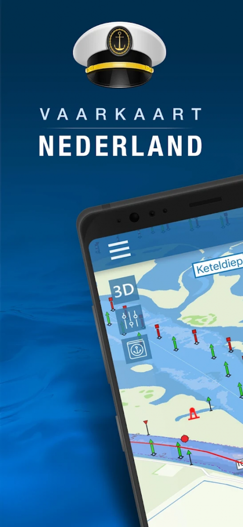
Nautical map (The Netherlands)
Latest Version: Publish Date: Developer: 3.2.1 2021-01-16 AppHero NL
Nautical map (The Netherlands) is an online waterway chart and almanac
The description of Nautical map (The Netherlands)
Nautical map (The Netherlands) is an online waterway chart and almanac which immediately displays all information relevant when traveling over water in The Netherlands. It is also an great tool to plan your cruise.
Nautical map NL includes:
- More than 8,000 buoys, barrels and other floating waterway markings.
- More than 4,500 docks and warfs.
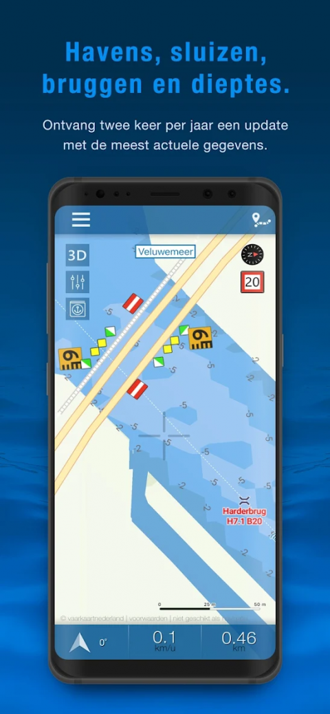
- More than 2,500 bridges, including height, width and operating times.
- More than 300 locks including operating times.
- Display of current speed and course.
- Graphical representation of the traveled route.
Agreements: http://www.vaarkaartnederland.nl/voorwaarden
Nautical map NL includes:
- More than 8,000 buoys, barrels and other floating waterway markings.
- More than 4,500 docks and warfs.
- More than 2,500 bridges, including height, width and operating times.
- More than 300 locks including operating times.
- Display of current speed and course.
- Graphical representation of the traveled route.
Agreements: http://www.vaarkaartnederland.nl/voorwaarden
What's new of Nautical map (The Netherlands)
- Option to share your location
- Save and view your sailed routes
- Some general improvements
- Save and view your sailed routes
- Some general improvements
| Category: | Requirements: |
|---|---|
| Auto & Vehicles | Android 4.1+ |
Related Apps for Nautical map (The Netherlands) android
-

-
The Chopper Ride
2018-07-27
-

-
Into the Dead
2024-04-10
-

-
Nautical map (The Netherlands)
2021-01-16


